Hiking Le Pleney – Five Reasons To Reach The Summit Without Taking The Gondola
It might seem like absolute madness to suggest hiking Le Pleney, a mountain that has a chair lift!! However, we haven’t completely lost the plot. Le Pleney is one of our favourite mountains in the area and there are many great reasons why you should choose to take the more adventurous way up.
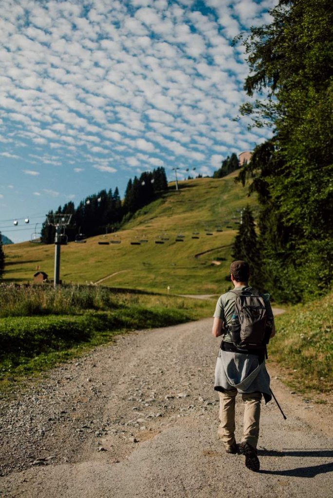
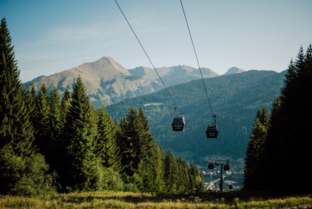
Le Pleney is the most accessible mountain to access from the village. The lower slopes are just a stone’s throw from the village centre (and The Farmhouse) which means you don’t have to travel any distance before starting the hike. The start of the trail is easy to find as it’s at the base station for the gondola, which is visible from most of the village.
We’ve highlighted our top 5 reasons why you should try hiking Le Pleney with the aim of encouraging you to give it a go:
1) It’s a “nice” hike…
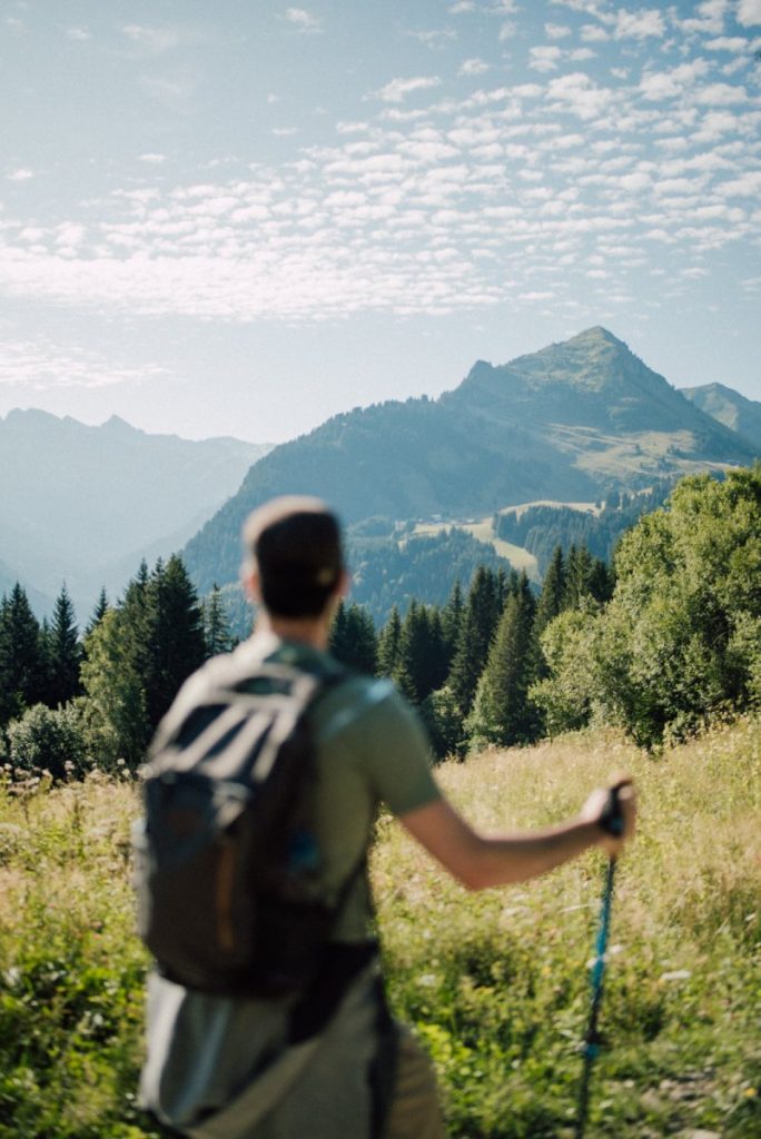
But what do we mean by “nice”? Well hiking Le Pleney is relatively easy for a hike which summits an alpine mountain. Easy in terms of distance, gradient and elevation gain.
The route follows good paths through varied terrain and offers a range of fantastic views. The hike hits that sweet spot for an enjoyable walk taking around 1.5 – 2 hours to reach the top with a 400m elevation gain. There is no exposure and the gradient although consistent, is not that steep making hiking Le Pleney great for beginners.
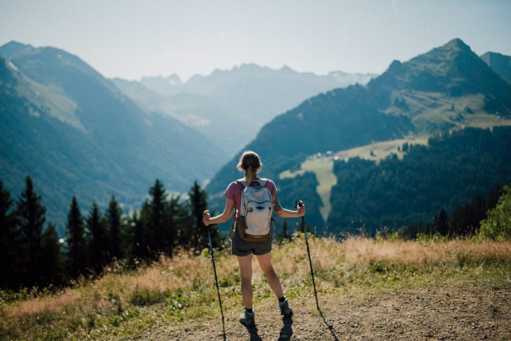
2) Hiking Le Pleney Provides A New Perspective Of The Mountain and The Village
If you’ve been to Morzine before then no doubt you will have either skied or cycled your way down Le Pleney at some point. However both of these activities are quite high speed and require a lot of attention, which is not the case whilst hiking.
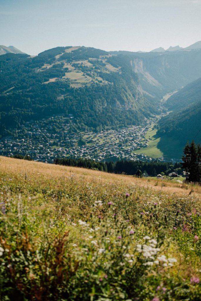
A hike allows you to go at your own pace and take in the sights, smells and sounds around you. The route takes you through parts of the mountain you will never have been to before and would not see otherwise. The views from these parts of the hike offer a new perspective over the village and surrounding valleys.
3) Fantastic Views From The Summit
The top of Le Pleney sits at an altitude of 1,546m above sea level and offers spectacular 360 degree panoramic views. The Dents Blanches, Mont Chery, Roc d’Enfer and the summit of Mont Blanc, the highest peak in the Alps are all visible on a clear day. There is a helpful map at the summit viewpoint to help you locate and identify the peaks that span before you.
4) Food
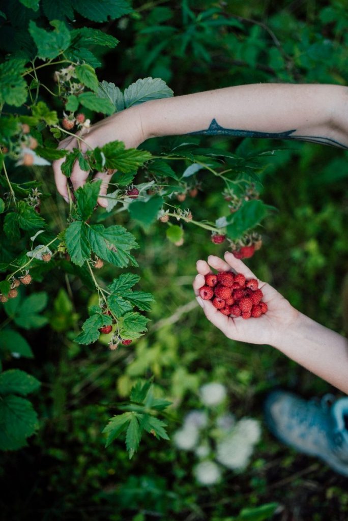
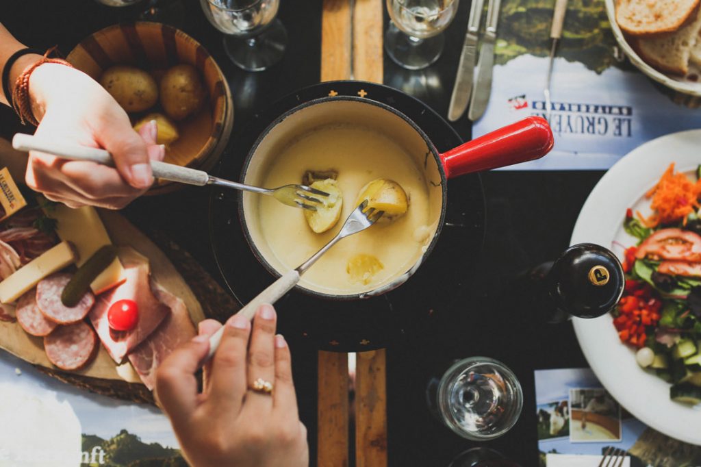
No matter what time of day you choose to take on the hike, the summit is a great spot to relax and refuel. A pain au chocolat and a thermos of coffee for the early birds, a picnic lunch for the mid morning hikers or a disposable bbq dinner for the afternoon adventurers.
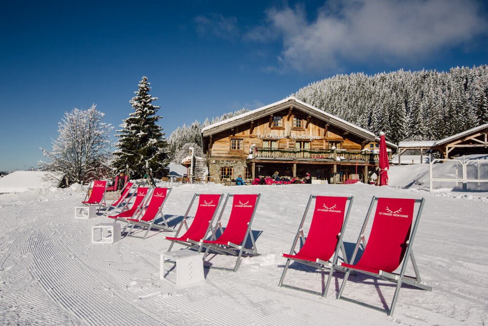
If carrying your supplies up with you doesn’t appeal, conveniently there are a couple of restaurants at the upper gondola station for you to enjoy.
5) No Need to Hike Back Down
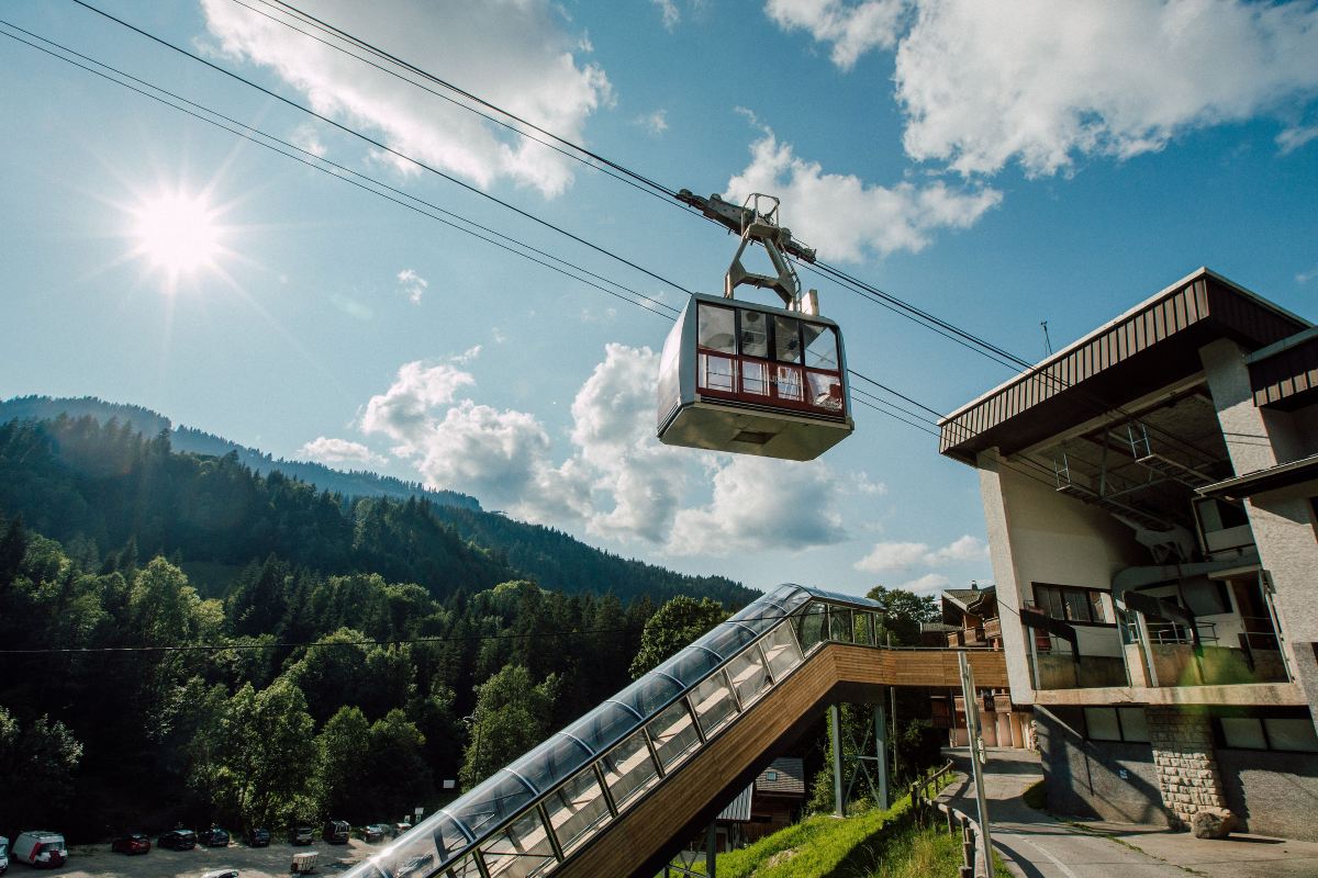
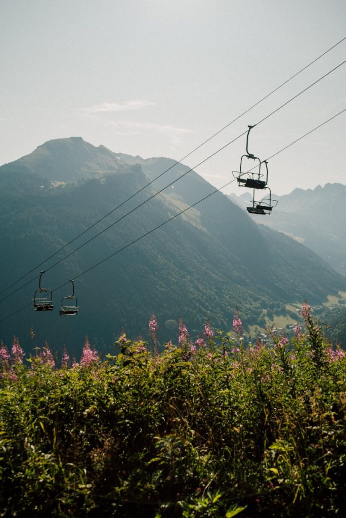
Sometimes going down is harder than going up, especially for those with “more experienced” knee’s. One of the best things about hiking Le Pleney is having the luxury of not having to retrace your steps back down. Simply purchase a ticket, jump in the gondola, take a seat and enjoy the views as you effortlessly glide back down towards the village, (if you plan to hike up later in the day, check the closing time for the lift in advance).
Route description: walk from Tremplin Hotel to the Pleney
We’ve teamed up with Jason and Vivien, Mountain guides at DaysAway Adventures, to give you a summary of the best way to reach the summit of Le Pleney.
Summary: this is a pleasant walk on generally good surfaces. It should take between 1 and 2 hours depending on fitness, but there are plenty of places to stop and rest or admire the view, as well as the restaurant at Les Mouilles halfway up.
Hiking Le Pleney Route Guide
Start from the Tremplin hotel on the Front de Neige side – looking up towards the buildings at the top of the lift. If you now look across to your right you will see a broad gravel track disappearing into the woods on the far side of the Luge Track. Carefully cross the luge, and follow the track uphill into the woods heading North West.
After 1 km the route starts to swing left towards the South West and continues to climb – don’t follow the level track on your left hand side as that only goes to some chalets. After another 500m the route meets the road near the Y’s car park, with some chalets on your right. Cross the road and follow the woodland path now heading uphill and South West.
After 300m on the woodland path you will come to the road again, this time follow it passing four wooden chalets on your right. After the last of the chalets the path heads back into the woods.
Warning: the next part of the path is clearly a downhill mountain bike VTT track, and you must listen out for bikes descending towards you.
You will cross the road twice more, following the woodland path, and will come out into a broad grassy area. At this point you have walked 2 km from the start.
At the end of the grassy area you will join the road for the last time on the way up. You will pass some chalets and there is a water trough on the right in the middle of the group of chalets where you can refresh your water bottle. The road leads to a broad parking place next to the Les Mouilles restaurant. At this point you have walked 2.3km and are 305m above your start point – time for a coffee!
Leaving Les Mouilles you will walk under a ski lift – the first of four. Follow the level gravel track across the slope with uphill on your right. 300m after leaving Les Mouilles the track splits, stay on the uphill side (right side) avoiding the track that drops downhill ahead and left of you.
The track stays level from this point for 400m until you reach the start of a gentle rise as the track steepens. The view of Morzine below really opens up here, as well as the Prodains valley and Avoriaz on your left , and the summit of the Pointe de Nyon ahead of you.
Keep following the track uphill, when you reach a steep turn to the right you will have walked 3.6 km already.
At the turn the track doubles back on itself to head North again, still rising across the face of Le Pleney, and you walk under the lifts that you have already passed once before. The buildings at the top of the slope appear, and the track meets the ridge just beyond the buildings – that’s almost all of the uphill. So far you have walked 4.2 km and climbed 500m
Once again turn back on yourself, left, towards the buildings and you will see the terrace of the summit restaurants. If you have your sights set on the summit however there is still a little more to do.
Walk in front of the lift building and the Viking restaurant, and now follow the track that heads a little right of dead ahead. There is a slight grassy rise on your right here with some aerials and a weather station on it (Tip – if you walk up this little rise there is a picnic bench on it that makes a great stopping point).
Follow the track 400m from the lift building to the true summit of the Pleney, where there are two interpretation tables with lovely ceramic panoramas naming the peaks you can see. This is the end of the climb – 4.74km from your start point and 545m above it.
You will have a panorama of Les Gets and the Pointe de Marcelly to the North East, Mt. Chery and behind that le Roc d’Enfer. Looking round to the North you can see the valley heading towards Lac Leman, and further round is Pointe de Nantaux, the Super Morzine arête leading to Avoriaz, Ressachaux, Hauts Forts behind, and then Pointe de Nyon to the South West.
From here you have options:
- A descent back to Morzine in the telepherique,
- Return on the path you climbed by (4.74km, about an hour to walk back),
- There is a pleasant walk across the golf course (beware golfers – please stick to the paths!) to Chavannes (1.7km, 40m rise, 80m descent) and then Les Gets (by telecabine, shuttle bus, or walking downhill – various routes gentle or steeper, about an hour and a half),
- Or complete a circle by following our extension route back down to the Tremplin (6.3km, about an hour and a half).
Extension walk – return to Morzine
Summary: This walk is longer than the way up – but downhill almost all the way! It gives you good views of Nyon and more lovely chalets and alpages on the way back down. There are a couple of steep sections but the path is a good surface – gravel track with some small road sections.
From the table d’interpretation on the Pleney summit return to the track and keep walking away from the Pleney lift. Bear left to follow the edge of the steep ground through the trees on your left, sticking to the lesser track. After 300m you will pass a lift and a restaurant, stay left of the restaurant building.
The path twists and turns a bit through some sparse woodland, and then 700m from the Pleney summit a wide piste opens up leading downhill on your left. Follow this down, zig zagging if necessary to maintain a reasonable angle of descent. Beware loose stones on this surface. Over the next 500m the track twists and turns as it descends, eventually meeting a more level track. There is a turning on your left, but you will see a ‘Les granges voie Privee’ sign on it.
Follow the main track, now descending in more of a straight line across the slope for 1 km. There is a gentle turn to the left and you will come out of the woods at a cluster of lift buildings and restaurants called Le Pre . The view also opens up to Pointe de Nyon above and ahead of you.
From Le Pre, take the surfaced road through the lift buildings which turns to the left and climbs to meet the Col de Joux Plane road. 300m from Le Pre centre, there is a junction to the right which goes up towards Nyon, and beyond that you will see a path opening to the left, which drops down following the river. The surface here is quite rough so take care.
This path comes out to the road again by the bridge over the river – at this point you will have walked 3.2km from the Pleney summit. Cross the bridge and follow the road until you see a minor road joining it from the left 500m from the bridge (there is a slight rise here, but everything beyond is downhill). Take the minor road to the left, passing some chalets, and you will find yourself on a wide gravel track across the alpage. (Chemin d’Attray)
You will pass under a ski lift, and head towards a second, but before reaching the second lift, (1.5km after the river bridge) turn right towards a small restaurant and a couple of houses at Attray. The path winds through the buildings and passes downhill from the bottom of a chairlift, through the woods, which open out to become a steep ski piste. The path zig zags across the piste, then turning back on itself, enters a lovely Beech forest, so different from the Norway Spruce forests above.
Carry on the obvious path downhill until you leave the forest and meet a track (again a ski piste) which crosses your path. Turn left onto this for an easy 700m amble back to your start point.
Feel inspired to discover some more hikes in the area? Why not contact Vivien & Jason for a guided hike. More details and online booking at daysawayadventures.com or phone +33 (0)783 88 14 41 or 06 49 75 51 01. Also give them a follow on Instagram or Facebook.
If you’re looking for somewhere special to stay to make the most of everything Morzine has to offer then why not have a look at The Farmhouse. We are a boutique hotel located in the centre of Morzine offering exceptional service in a unique setting.